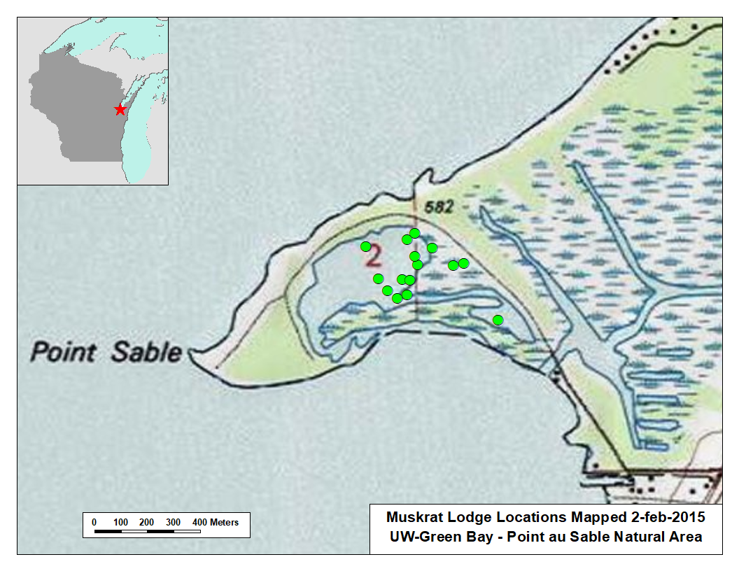
We often document our work by listing our observations in tables. Whether or not we have a clear idea of the operations that will be subsequently applied to the data, we always want to do a good job of setting up the table. Creating a web map is one of many downstream manipulations that will be easier if we take some care up front.
| OBS_NAME | OBS_DSCRIP | OBS_BY | DATE_TIME | GEOTAG_SRC | GPS_WPT_ID | LAT_WGS84 | LON_WGS84 | FILE_NAME | URL_AGOL |
|---|---|---|---|---|---|---|---|---|---|
| PtSable20150207a01 | Map LODGE-01 | stiemg10 | 20150207-11:32am | HANDHELD GPS | WPT-11 | 44.580148 | -87.908068 | n/a | |
| ↓ | |||||||||
| PtSable20150207a15 | Map LODGE-15 | stiemg10 | 20150207-12:06pm | HANDHELD GPS | WPT-25 | 44.578369 | -87.903563 | n/a | |
| PtSable20180626a01 | Photo HERMIONE | stiemg10 | 20180626-02:??pm | GOOGLE MAPS | n/a | 44.580171 | -87.906484 | muskrat-swimming-1525669287ScU.jpg | https://ottergeospatial.maps.arcgis.com/sharing/rest/content/items/d6e6b2cd43f24fe1aa2279f68fedf39d/data |

