
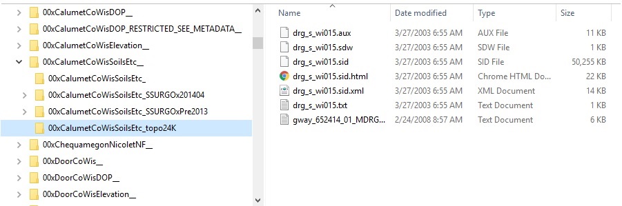
The above figure is an excerpt from the GISFIX-01 (Geodata Drive Subset) folder tree. It illustrates the rules used to catalog the individual datasets in the archive. The rules are similar to those for the Master Archive it’s excerpted from.
- The names of the top folders in the archive begin with a two number prefix. Some categories of spatial data are easiest to find if they are cataloged by geography. Such datasets are archived in folders identified by “00”. Some categories of spatial data are easiest to find if they are cataloged by topic. Such datasets are archived in folders identified by numeric codes that run from “01” to “19”. Ad hoc datasets used to make pretty maps are archived in folders identified by “99”. The figure shows where to look in the folder tree for datasets relevant to the Brown County geography. Because the archive holds so much Brown County data, it’s split among several top folders.
- The only top folders copied into the Geodata Drive Subset are those whose names end with a double underscore.
- Top folders don’t contain files, only subfolders.
- Each subfolder contains a single dataset or a family of related datasets. Subfolder names consist of the top folder’s name, an underscore and a descriptive name (not the file name) for the included dataset(s).
Comments are closed.